

Using Drones for Aerial Mapping and 3D Modeling
Introduction: Drones have transcended their military origins to become indispensable tools across various commercial sectors, offering unparalleled efficiency and accuracy. According to Goldman Sachs, the drone market is poised to reach a staggering $100 billion by 2025, presenting a compelling opportunity for industries worldwide.
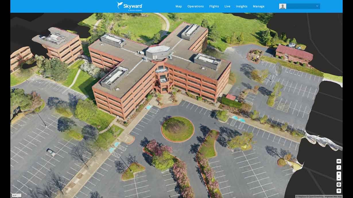
Understanding Drone Mapping
Drone mapping, the process of creating maps or 3D models of geographical areas, has become a cornerstone of modern workflows. Utilizing photogrammetry, a technique with roots dating back centuries, drones capture ultra-high-definition images from low altitudes, ensuring precise results.
To execute drone mapping effectively, users mount cameras on drones and capture overlapping photographs of the target area. Advanced software then processes these images into comprehensive maps, accurately measuring length, area, and volume.
Applications Across Industries
The versatility of drones extends across numerous sectors, revolutionizing traditional practices:
Construction Industry: Drones provide real-time aerial data, facilitating informed decision-making and improving safety by up to 55%.
Land Surveying: Geospatial professionals benefit from faster data collection and analysis, thanks to drone photogrammetry.
Real Estate: High-definition aerial maps enhance property marketing, offering detailed insights into boundaries and terrain.
Agriculture: Drones offer farmers valuable insights into crop health and yield analysis, contributing to improved productivity.
Considerations for Drone Operations
Operating drones for mapping purposes requires expertise and adherence to regulations:
Software Selection: Choosing the right mapping software is crucial for achieving desired outcomes.
Regulatory Compliance: Commercial drone operations are subject to FAA regulations, including pilot certification and flight restrictions.
Partnering with Experts
As the drone industry continues to soar, the demand for skilled professionals is on the rise. Companies like 504 Drone Imaging leverage their expertise in aerial photography and UAV technology to deliver superior results. From construction site modeling to real estate photography, partnering with drone experts ensures optimal outcomes for businesses.
Conclusion
Drones have ushered in a new era of efficiency and precision across industries, with aerial mapping playing a pivotal role in driving innovation. As businesses embrace the potential of drones, partnering with experienced professionals becomes paramount to unlocking the full benefits of this transformative technology. Contact 504 Drone Imaging today to harness the power of aerial mapping for your business needs.