ENVIRONMENTAL
504DI, LLC | New Orleans, LA
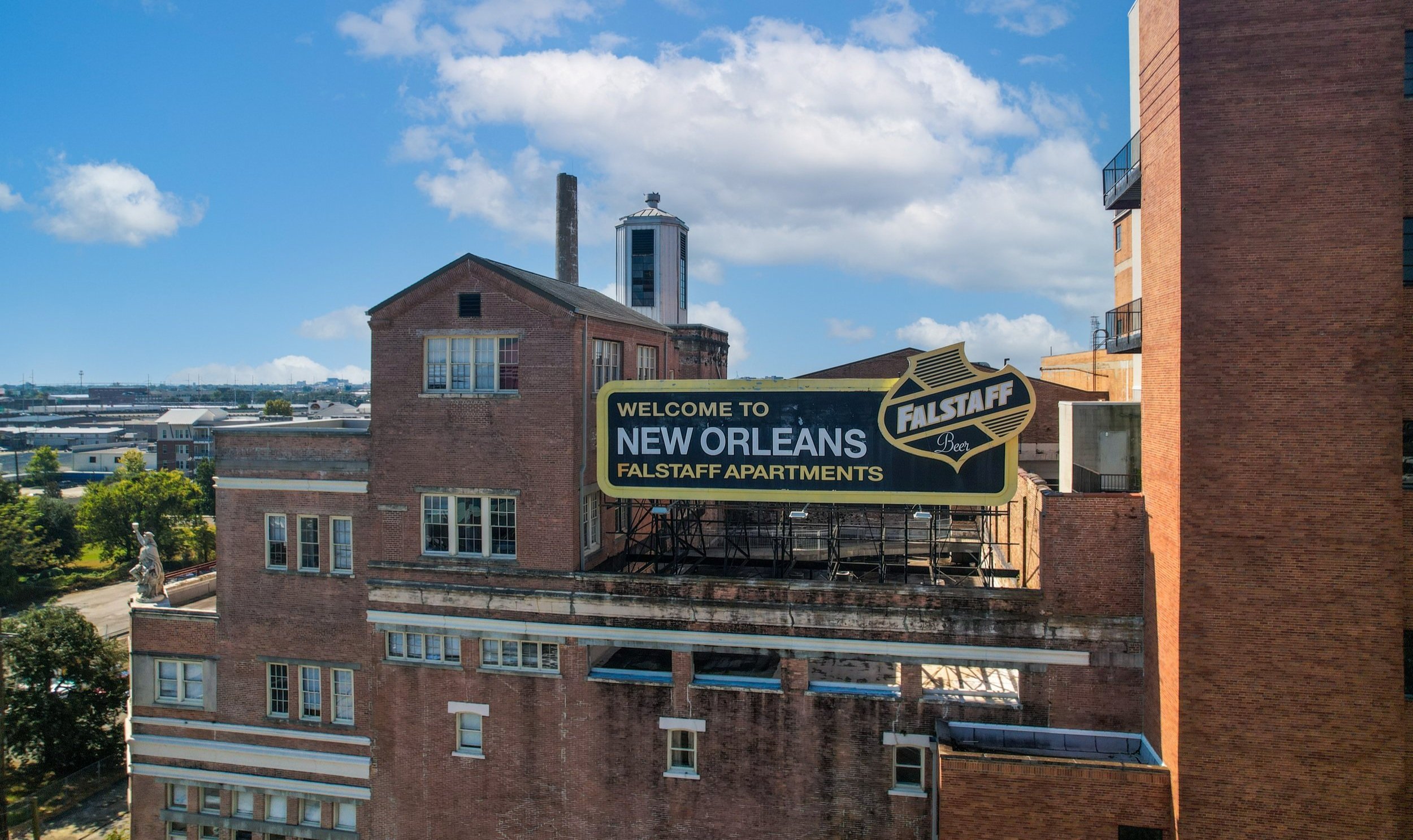
Environmental Drone Services & Aerial Monitoring
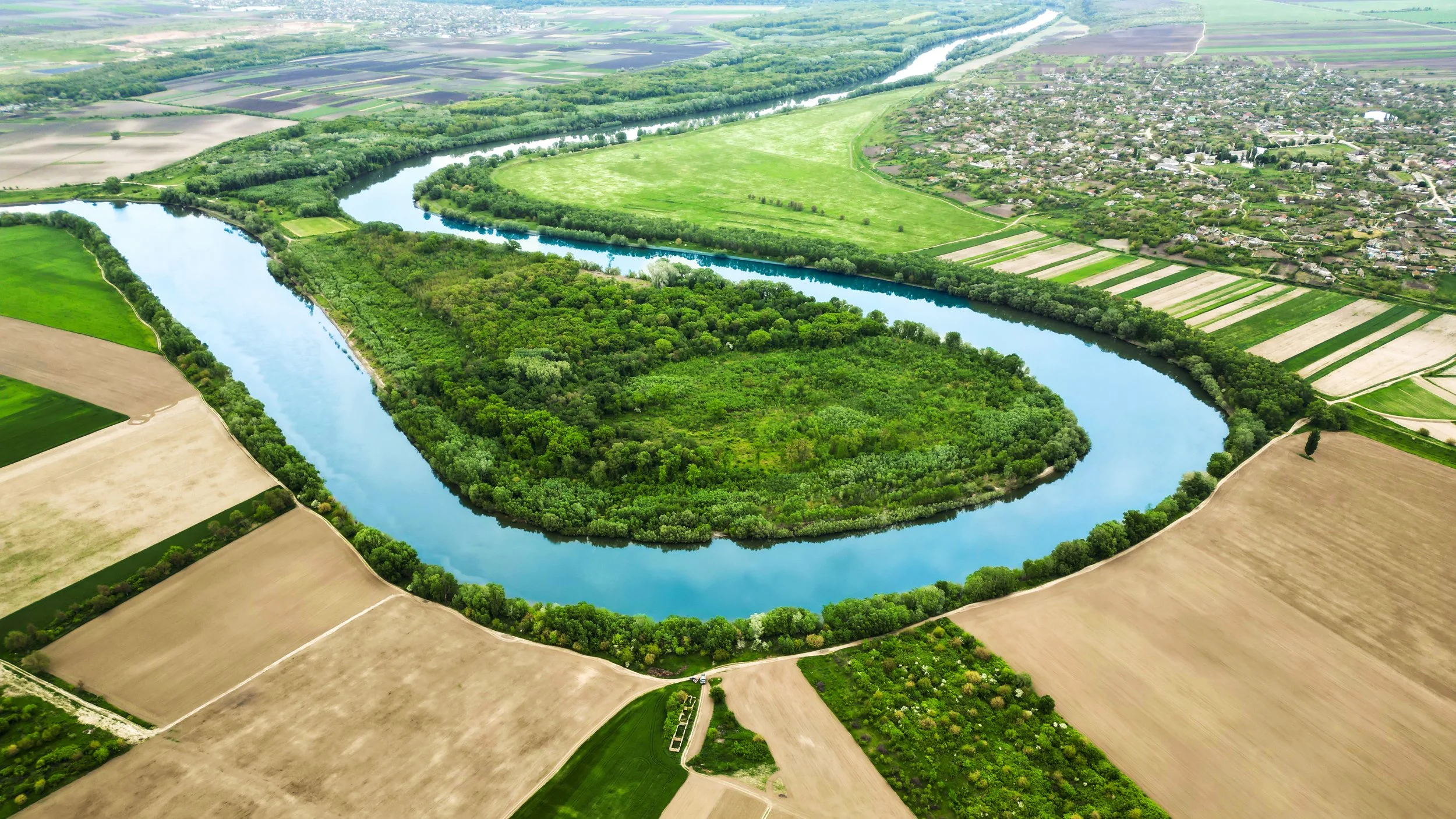
Protecting the Gulf South’s natural resources requires accurate data, clear visuals, and consistent monitoring. At 504 Drone Imaging, we support environmental teams, engineering firms, conservation groups, and government agencies with precise aerial imagery and drone-based assessments built for land, water, and coastal environments.
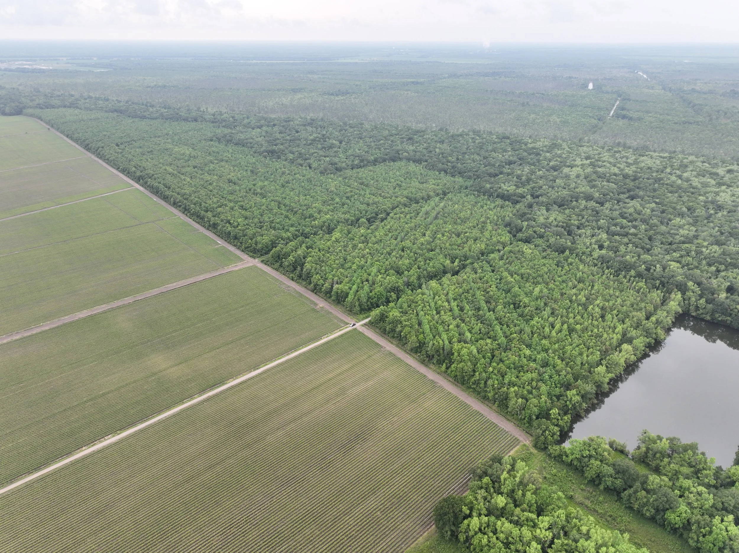
From wetlands restoration to shoreline erosion studies, storm-impact documentation, wildlife habitat surveys, and industrial site monitoring, our drone services deliver the clarity and perspective needed to understand environmental change—and respond effectively.

Our Environmental Drone Services
Wetlands & Coastal Monitoring - Document shoreline erosion, land loss, marsh health, and restoration progress with accurate aerial photo and video documentation.
Environmental Impact Studies - Support engineering firms and environmental scientists with visuals for regulatory reporting, permitting, and pre-/post-construction assessments.
Aerial Mapping & Orthomosaics - Generate detailed 2D & 3D maps for habitat studies, vegetation analysis, land management, and change detection.
Aerial Progress Documentation - Monitor the progress of coastal restoration, levee work, mitigation projects, and infrastructure improvements.
Storm Impact & Disaster Response - Capture large-area damage assessments after hurricanes and flooding for environmental agencies and local governments.
Waterway & Coastal Facility Monitoring - Ideal for ports, industrial sites, levee systems, waterways, and critical coastal infrastructure.
Thermal & Infrared - Identify heat signatures, water intrusion, vegetation stress, and environmental anomalies.
Why Choose Us?
✓ Detailed, High-Resolution Aerial Data - Capture wide-area views, site changes, and environmental impact with accurate photo, video, mapping, and measurement data.
✓ FAA-Licensed & Fully Insured Drone Operations - Every mission is conducted safely and compliantly, with pilots experienced in working around waterways, wetlands, and protected habitats.
✓ Non-Intrusive Monitoring - Aerial collection reduces disturbance to wildlife, sensitive ecosystems, and hard-to-reach terrain.
✓ Ideal for Short-Term Studies & Long-Term Monitoring - Track environmental change over time with repeatable drone flights, consistent data capture, and easy-to-compare deliverables.
✓ Faster, Safer, and More Cost-Efficient - Cover more area in less time—without boats, ATVs, or large field teams—while reducing risk and manual labor.

Get Clear, Accurate Environmental Data from Above
Need aerial monitoring, mapping, or documentation for an environmental project? Contact 504 Drone Imaging today to discuss your mission, request a quote, or schedule repeat monitoring flights.


Drone Environmental Services - New Orleans, LA
Servicing Baton Rouge, South LA and the Gulf South.

Let’s Work Together!